Nordereiland
WILEMSBRUG
Noordereiland (Northern Island) is a small, narrow island that lies between the city center and Kop van Zuid, in the middle of the Nieuwe Maas river, between Erasmusbrug and Willemsbrug. The 3 parts are connected with several bridges. The island mostly has older residential buildings.
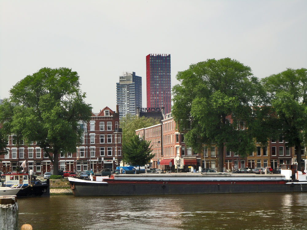
Nordereiland with city center's towers in the background.

Nordereiland seen from Kop van Zuid.

Prins Hendrikkade with De Hef bridge above it to the right.

Burgemeester Hoffmanplein, a nice square to sit and relax on Nordereiland.. Bought an ice at the Spar supermarket opposite this sculpture.
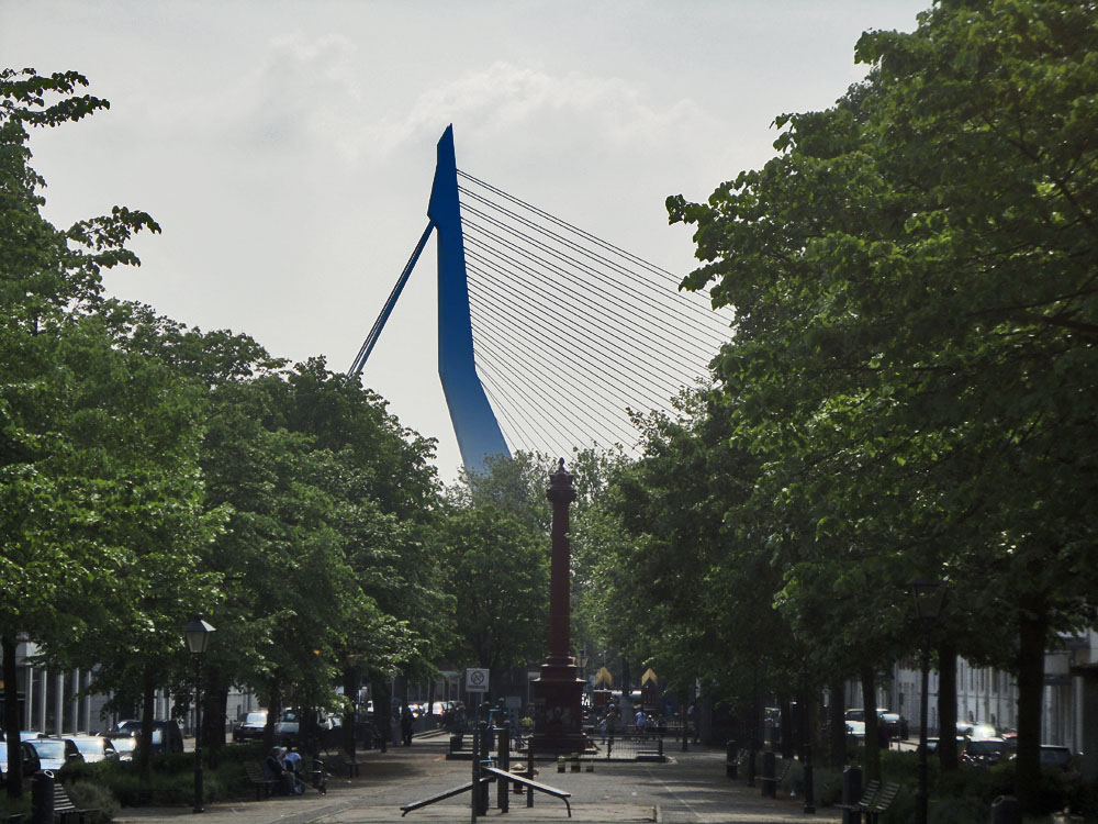
Burgemeester Hoffmanplein, looking further west, with Erasmusbrug in the background.

3 bridges: Wilhemsbrug (red, distance) and De Hef and Koninginnebrug, both lead to Nordereiland (left) from Kop van Zuid.
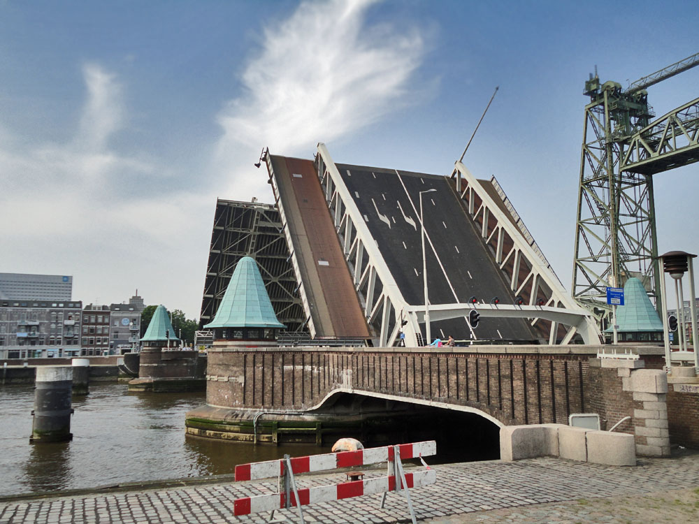
The opening of Koninginnebrug, that leads to Nordereiland. The trafficants were impatient.

Nordereiland to the right, Erasmusbrug to the left.

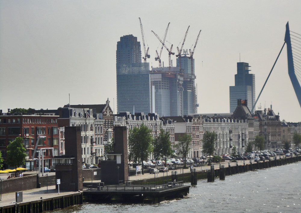
Wijnhaven skyline from Nordereiland.
Decorations near Willemsbrug.
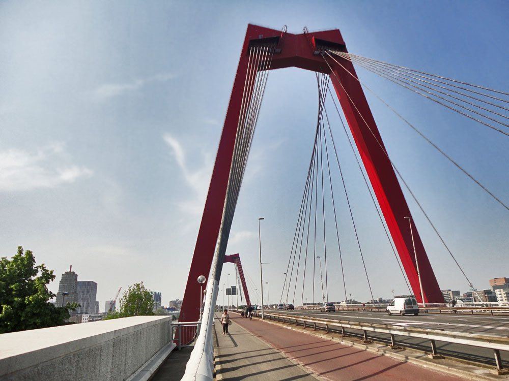
Willemsbrug, the red bridge that leads to the city center from Nordereiland.
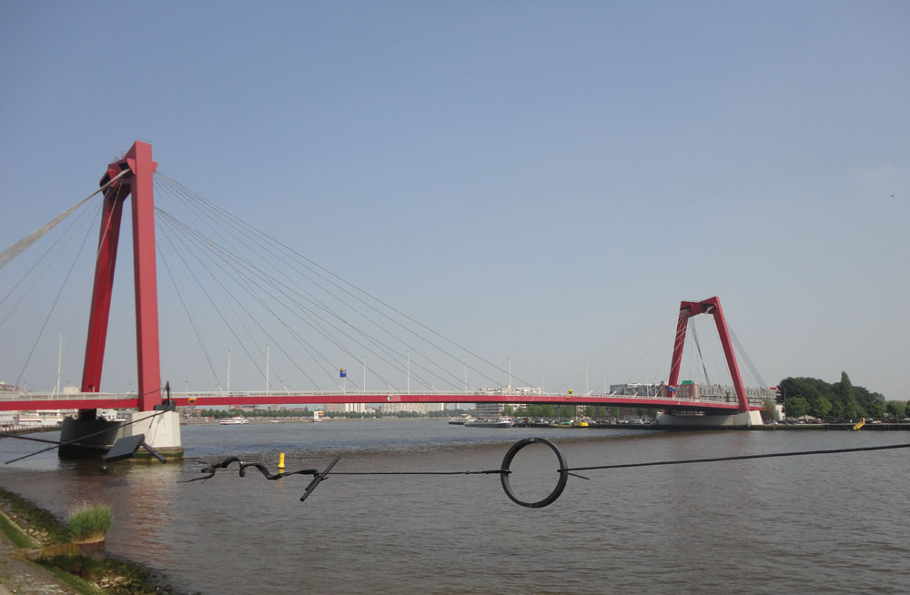
Willemsbrug was completed in 1981, and is a cable-stayed bridge with a total span of about 318 meters.
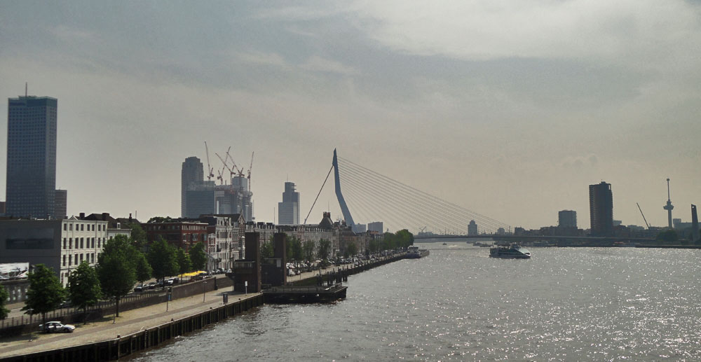
View from Willemsbrug: Nordereiland and Erasmusbrug skyline. The tall skyscraper to the left is Maastoren, Netherland's tallest building. To the right is Euromast.
Close-up of Nordereiland with Kop van Zuid's skyscrapers in the background.